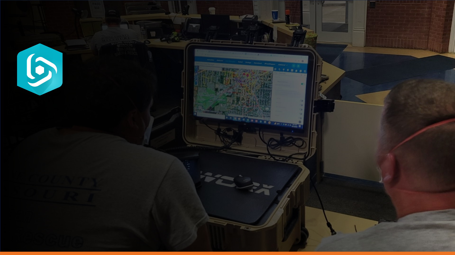
1.1 Introduction to SARCOP
< Back

SARCOP Training Playlist

This is a playlist for the SAR Common Operating Platform training videos.
  • 1.1 Introduction to SARCOP

    06:12

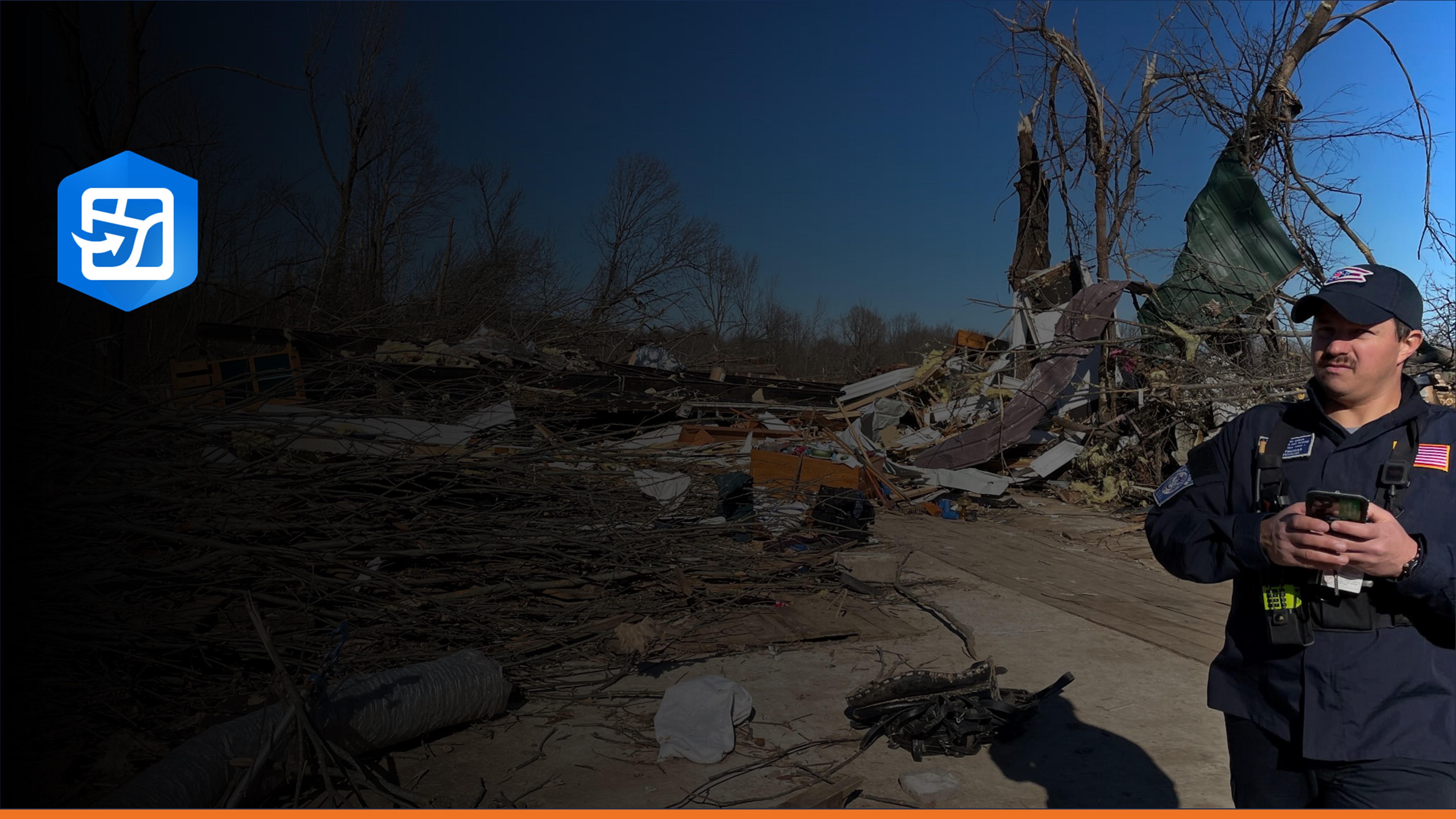
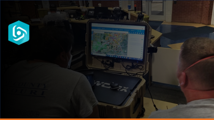
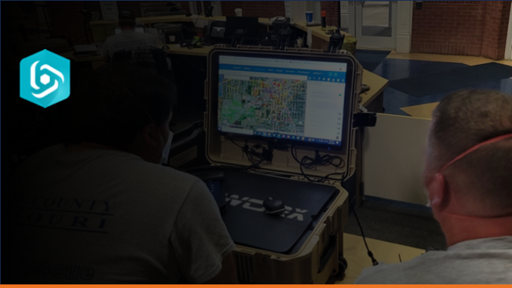
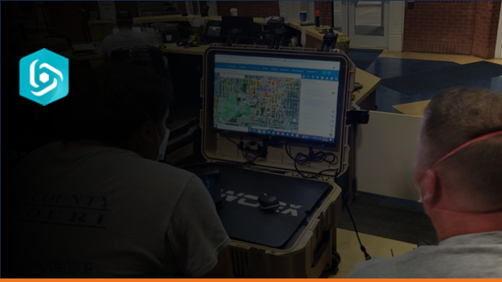
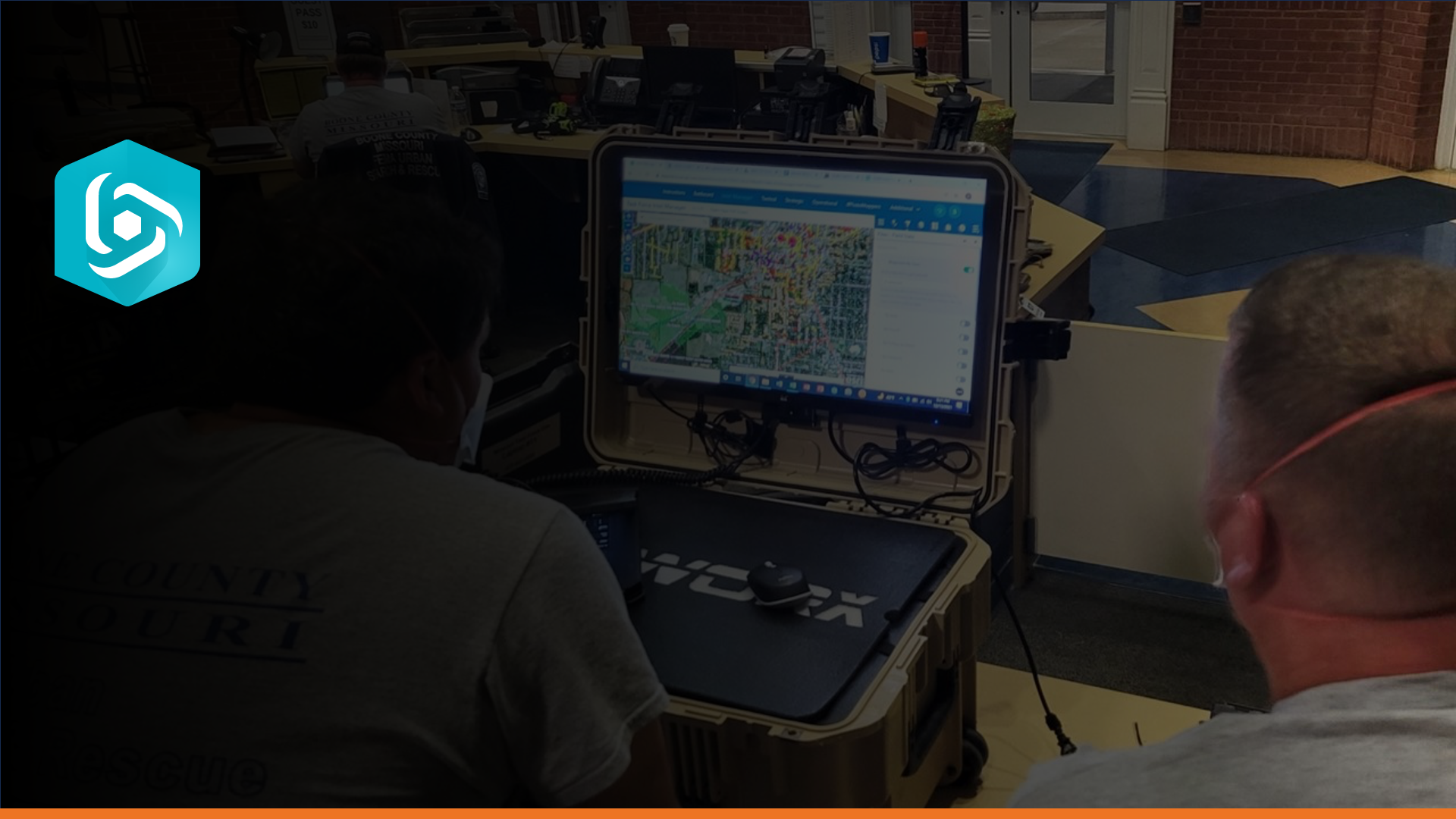
    Introduction to the Search and Rescue Common Operating Platform.

    1.1 Introduction to SARCOP

    AI wand icon
    Transcript translations are generated by AI.
    Please excuse mistakes in translation.
    timeline icon timeline icon timeline icon timeline icon
    Timeline
    Use the AI button above to generate, or click below to upload your own captions.
    AI transcript unavailable. Click below to upload your own captions.
    Click below to upload your own captions.

    Captions and Chapters
    Select a language then choose an option below to upload captions, chapters or add them manually.

    Uploaded
  • 1.1 2025 SARCOP v10 Updates (Top 10 for v10)

    24:14

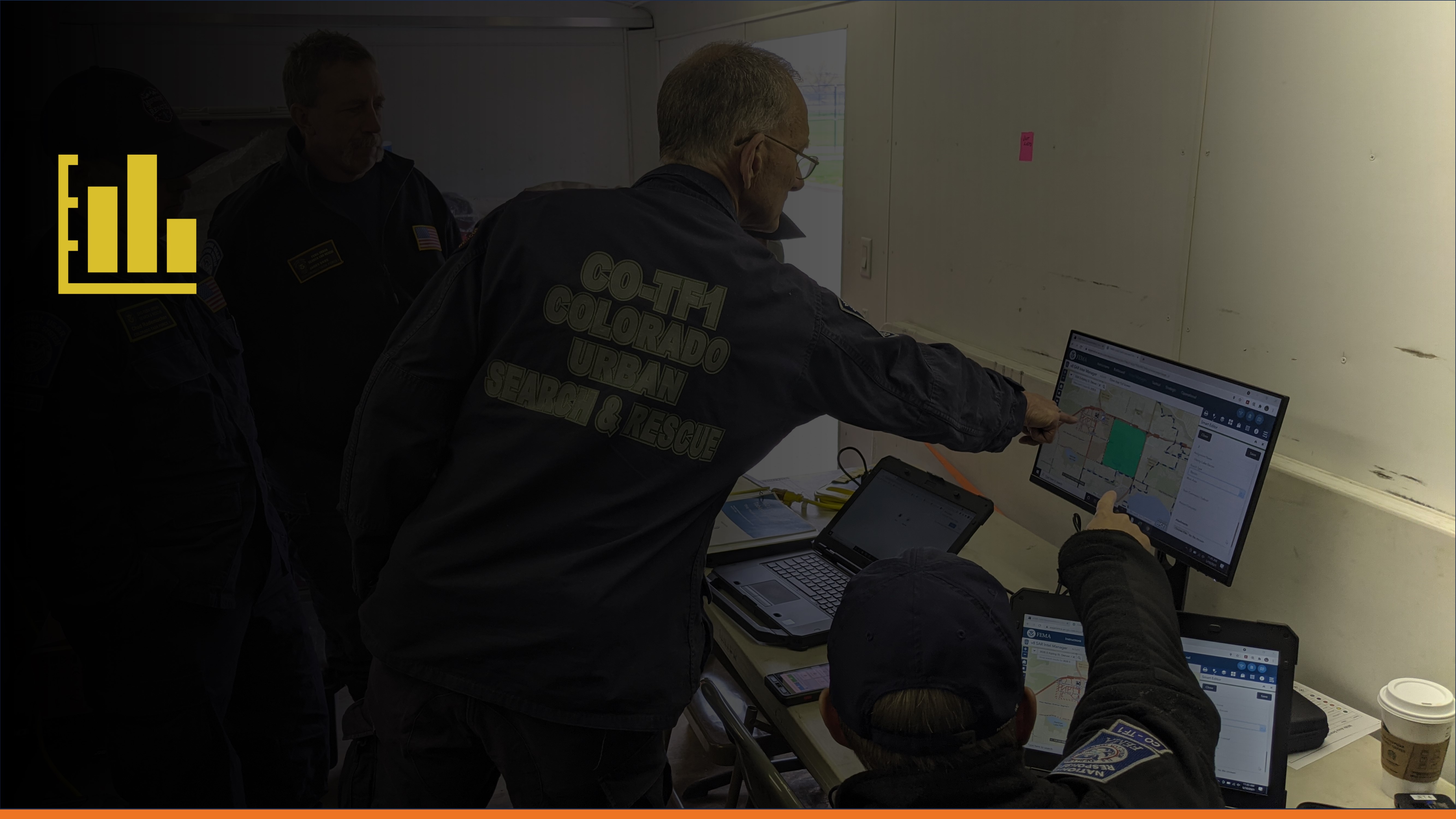
    Top 10 things you need to know with the launch of SARCOP v10. This recording is from the June 2025 SARGeo Hangout.

    1.1 2025 SARCOP v10 Updates (Top 10 for v10)

  • Using QuickCapture for Search and Rescue Field Data Collection

    04:36

    This video explains how search and rescue teams use ArcGIS QuickCapture to collect field data online or offline. It covers installing and accessing the correct project via QR code, configuring permissions and user information, starting and completing GPS track logs, viewing shared search coverage, selecting appropriate mission types, and preparing to collect waypoints.

    Using QuickCapture for Search and Rescue Field Data Collection

    AI wand icon
    Transcript translations are generated by AI.
    Please excuse mistakes in translation.
    timeline icon timeline icon timeline icon timeline icon
    Timeline
    Use the AI button above to generate, or click below to upload your own captions.
    AI transcript unavailable. Click below to upload your own captions.
    Click below to upload your own captions.

    Captions and Chapters
    Select a language then choose an option below to upload captions, chapters or add them manually.

    Uploaded
  • 2.2.2 QuickCapture: Collect Waypoints

    05:00

    This video explains how to collect waypoints in the SARCOP Training Sandbox once you have installed the app and pointed it to the correct project.

    2.2.2 QuickCapture: Collect Waypoints

  • QuickCapture Tips, Troubleshooting, and Field Settings

    05:40

    This video provides QuickCapture guidance for tech information specialists and device managers, including secure sign-in, project updates, user inputs, location sharing, GPS troubleshooting, offline mapping, project sharing, app settings, connectivity, notifications, Bluetooth GPS, and the Stay Awake option.

    QuickCapture Tips, Troubleshooting, and Field Settings

    AI wand icon
    Transcript translations are generated by AI.
    Please excuse mistakes in translation.
    timeline icon timeline icon timeline icon timeline icon
    Timeline
    Use the AI button above to generate, or click below to upload your own captions.
    AI transcript unavailable. Click below to upload your own captions.
    Click below to upload your own captions.

    Captions and Chapters
    Select a language then choose an option below to upload captions, chapters or add them manually.

    Uploaded
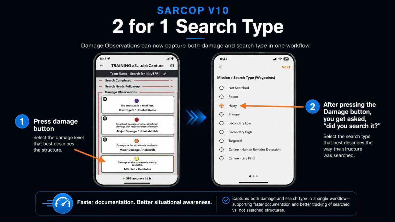
  • 2.2.4 - 2 for 1 Waypoint Search Type

    01:30

    2.2.4 - 2 for 1 Waypoint Search Type

  • 2.3.1 Team Fact Sheet (TFS) Form

    07:06

    This training video covers the basics of the Team Fact Sheet Survey for SARCOP users.

    2.3.1 Team Fact Sheet (TFS) Form

  • 2.4.1 Intro to Field Maps

    05:04

    Introduction to Field Maps for Urban Search and Rescue.

    2.4.1 Intro to Field Maps

    AI wand icon
    Transcript translations are generated by AI.
    Please excuse mistakes in translation.
    timeline icon timeline icon timeline icon timeline icon
    Timeline
    Use the AI button above to generate, or click below to upload your own captions.
    AI transcript unavailable. Click below to upload your own captions.
    Click below to upload your own captions.

    Captions and Chapters
    Select a language then choose an option below to upload captions, chapters or add them manually.

    Uploaded
  • 2.4.2 Field Maps Filtering and Editing

    04:51

    Learn how to filter and edit data in Field Maps.

    2.4.2 Field Maps Filtering and Editing

  • 2.4.3 Field Maps Offline Areas

    04:05

    Add and manage offline areas in Field Maps.

    2.4.3 Field Maps Offline Areas

  • 2.4.4 Field Maps Settings Overview

    02:41

    Overview of the settings within Field Maps.

    2.4.4 Field Maps Settings Overview

  • 2.4.5 Field Maps Copy Features as Segments

    01:49

    This is a quick video showing how to copy a census tract into our segments layer in Field Maps.

    2.4.5 Field Maps Copy Features as Segments

  • 2.5.1 RST in QuickCapture

    02:25

    Overview of conducting Rapid Structure Triage using QuickCapture.

    2.5.1 RST in QuickCapture

  • 2.5.2 RST/HAZ in Field Maps

    04:26

    Using Field Maps to add RST details and conduct a HAZ Evaluation.

    2.5.2 RST/HAZ in Field Maps

  • 3.2.1 Introduction to Dashboards

    04:35

    Introduction to using dashboards for monitoring US&R incidents.

    3.2.1 Introduction to Dashboards

  • 3.2.2 Dashboard Map Management

    05:16

    Learn how to navigate the map and manage the view of data elements in dashboards.

    3.2.2 Dashboard Map Management

  • 3.2.3 Dashboard Filtering v10

    04:12

    3.2.3 Dashboard Filtering v10

  • 3.2.4 Exporting Dashboard Data

    03:21

    Learn how to export a situational tally from the Strategic Dashboard.

    3.2.4 Exporting Dashboard Data

  • 3.4.1 TFS Dashboard

    06:24

    This video introduces the SARCOP Team Fact Sheet Dashboard for Incident Support Teams.

    3.4.1 TFS Dashboard

  • 4.2.1 Introduction to Intel Manager v10

    04:48

    4.2.1 Introduction to Intel Manager v10

  • 4.2.2 Filtering in Intel Manager v10

    03:17

    4.2.2 Filtering in Intel Manager v10

  • 4.2.3 Editing Existing Features in Intel Manager v10

    04:36

    4.2.3 Editing Existing Features in Intel Manager v10

  • 4.2.4 Add New Features in Intel Manager v10

    05:40

    4.2.4 Add New Features in Intel Manager v10

  • 4.2.5 Add Data in Intel Manager v10

    06:16

    4.2.5 Add Data in Intel Manager v10

  • 4.2.6 Copy Features in the Intel Manager

    03:58

    How to copy features into SARCOP layers from other available layers or datasets.

    4.2.6 Copy Features in the Intel Manager

  • 4.2.7 Batch Editing in the Intel Manager

    02:27

    How to batch edit different layers using the Batch Edit tool.

    4.2.7 Batch Editing in the Intel Manager

  • 4.2.8 Printing from Intel Manager v10

    02:39

    4.2.8 Printing from Intel Manager v10

  • 4.2.9 Introduction to Admin Editor

    03:00

    Overview of the Admin Editor's purpose, audience, and functions.

    4.2.9 Introduction to Admin Editor

  • 4.2.10 Create USNG Segments in Intel Manager 1.0

    05:07

    Create US National Grid reference graphics and import into the Search Segment layer using Intel Manager 1.0.

    4.2.10 Create USNG Segments in Intel Manager 1.0

  • 4.2.12 Cut Tool

    03:13

    How to use the Cut Tool in the Intel Manager.

    4.2.12 Cut Tool

  • Advanced Editor 2.0 BETA Preview (Tailgate Video on 07/03/25)

    09:20

    Tailgate session for those testing the Advanced Editor 2.0 BETA!

    Advanced Editor 2.0 BETA Preview (Tailgate Video on 07/03/25)

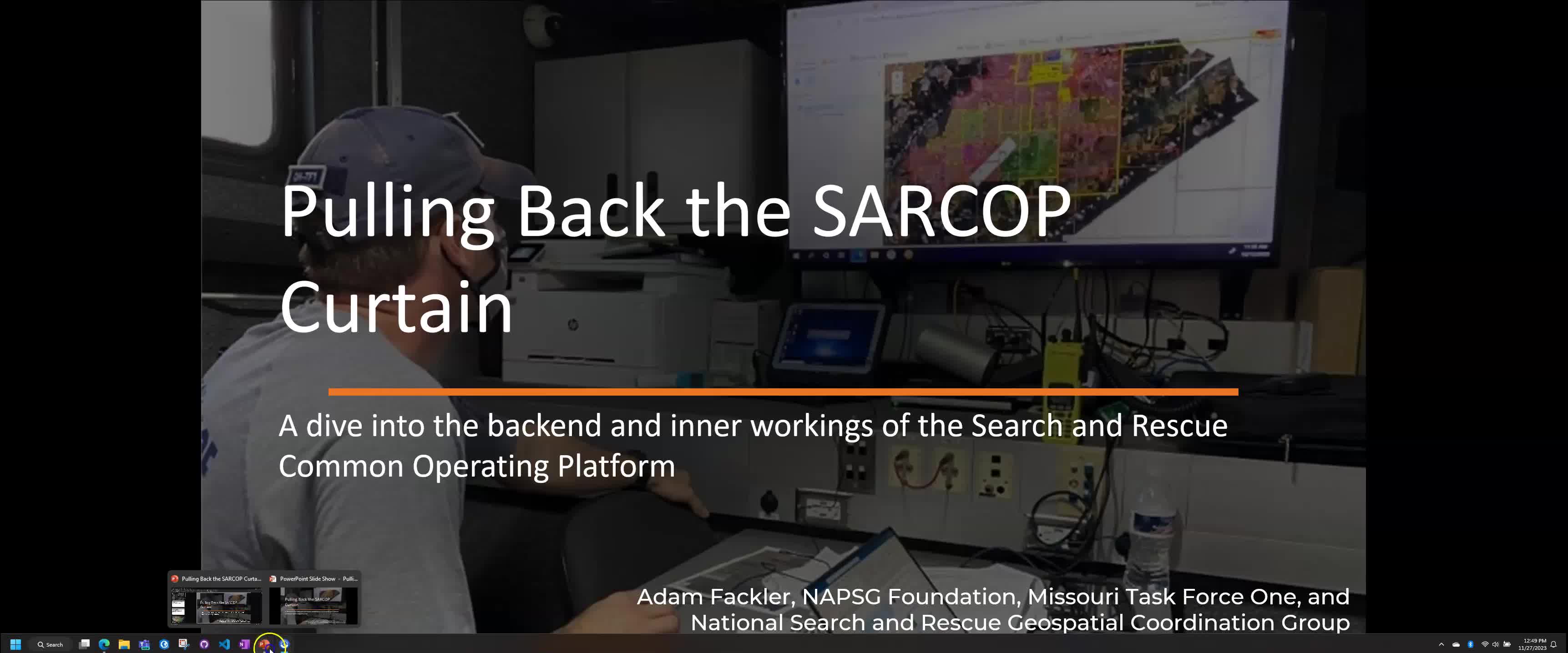
  • Pulling Back the SARCOP Curtain

    Nov 29, 2023 | 47:50

    Learn how the Search and Rescue Common Operating Platform (SARCOP) system was built, how it intakes and manages data, and how you can use components from this platform in your own projects.

    Pulling Back the SARCOP Curtain

    Created: Nov 29, 2023
  • 3.4.3 TFS RESL/DOCL Documentation for

    24:17

    Team Fact Sheet Documentation for RESL/DOCL

    3.4.3 TFS RESL/DOCL Documentation for

  • My Map is Sick, Now What? with Dr. Doherty

    15:44

    Dr. Paul Doherty shows some advanced tips and tricks for diagnosing issues with web maps and apps.
    My Map is Sick, Now What? with Dr. Doherty

  • 1.1 Introduction to SARCOP
  • 1.1 2025 SARCOP v10 Updates (Top 10 for v10)
  • Using QuickCapture for Search and Rescue Field Data Collection
  • 2.2.2 QuickCapture: Collect Waypoints
  • QuickCapture Tips, Troubleshooting, and Field Settings
  • 2.2.4 - 2 for 1 Waypoint Search Type
  • 2.3.1 Team Fact Sheet (TFS) Form
  • 2.4.1 Intro to Field Maps
  • 2.4.2 Field Maps Filtering and Editing
  • 2.4.3 Field Maps Offline Areas
  • 2.4.4 Field Maps Settings Overview
  • 2.4.5 Field Maps Copy Features as Segments
  • 2.5.1 RST in QuickCapture
  • 2.5.2 RST/HAZ in Field Maps
  • 3.2.1 Introduction to Dashboards
  • 3.2.2 Dashboard Map Management
  • 3.2.3 Dashboard Filtering v10
  • 3.2.4 Exporting Dashboard Data
  • 3.4.1 TFS Dashboard
  • 4.2.1 Introduction to Intel Manager v10
  • 4.2.2 Filtering in Intel Manager v10
  • 4.2.3 Editing Existing Features in Intel Manager v10
  • 4.2.4 Add New Features in Intel Manager v10
  • 4.2.5 Add Data in Intel Manager v10
  • 4.2.6 Copy Features in the Intel Manager
  • 4.2.7 Batch Editing in the Intel Manager
  • 4.2.8 Printing from Intel Manager v10
  • 4.2.9 Introduction to Admin Editor
  • 4.2.10 Create USNG Segments in Intel Manager 1.0
  • 4.2.12 Cut Tool
  • Advanced Editor 2.0 BETA Preview (Tailgate Video on 07/03/25)
  • Pulling Back the SARCOP Curtain
  • 3.4.3 TFS RESL/DOCL Documentation for
  • My Map is Sick, Now What? with Dr. Doherty